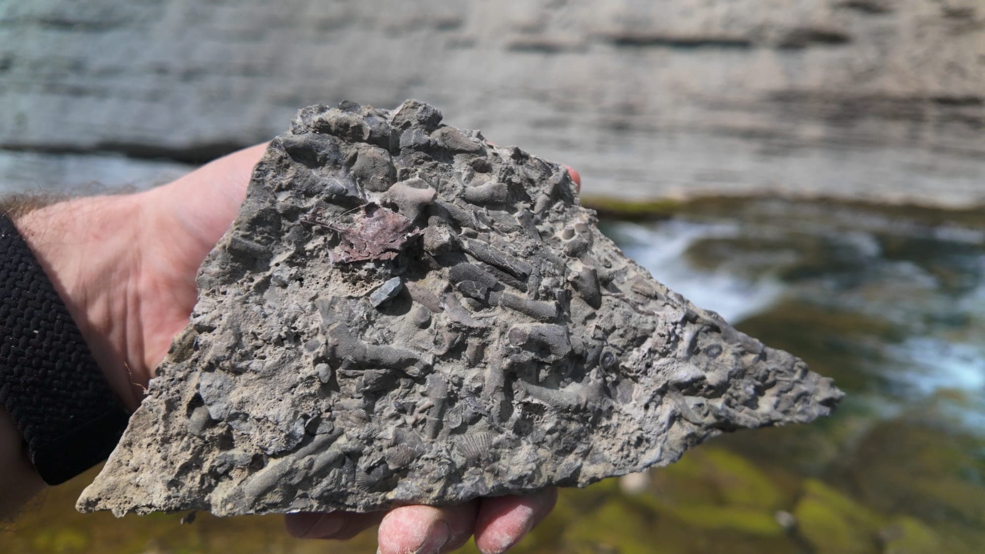
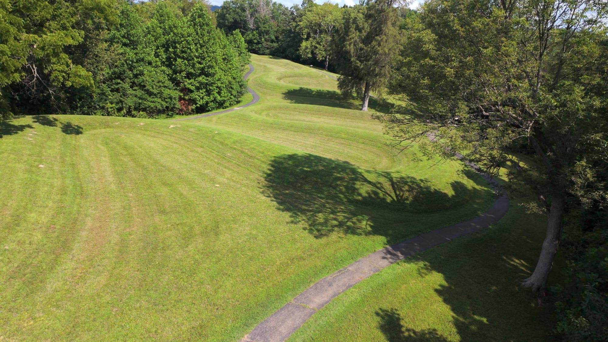
Almost everything about the name of this place is wrong.It's called Fort Ancient. It was never a fort. There is an entire archaeological culture named after it — the Fort Ancient culture — and they didn't build it. They moved in about a thousand years after it was finished, the way you'd move into an old house.The people who did build it moved somewhere around half a million cubic yards of earth up a hill. One basket at a time. Nobody wrote down a single one of their names.
What Fort Ancient Actually Is
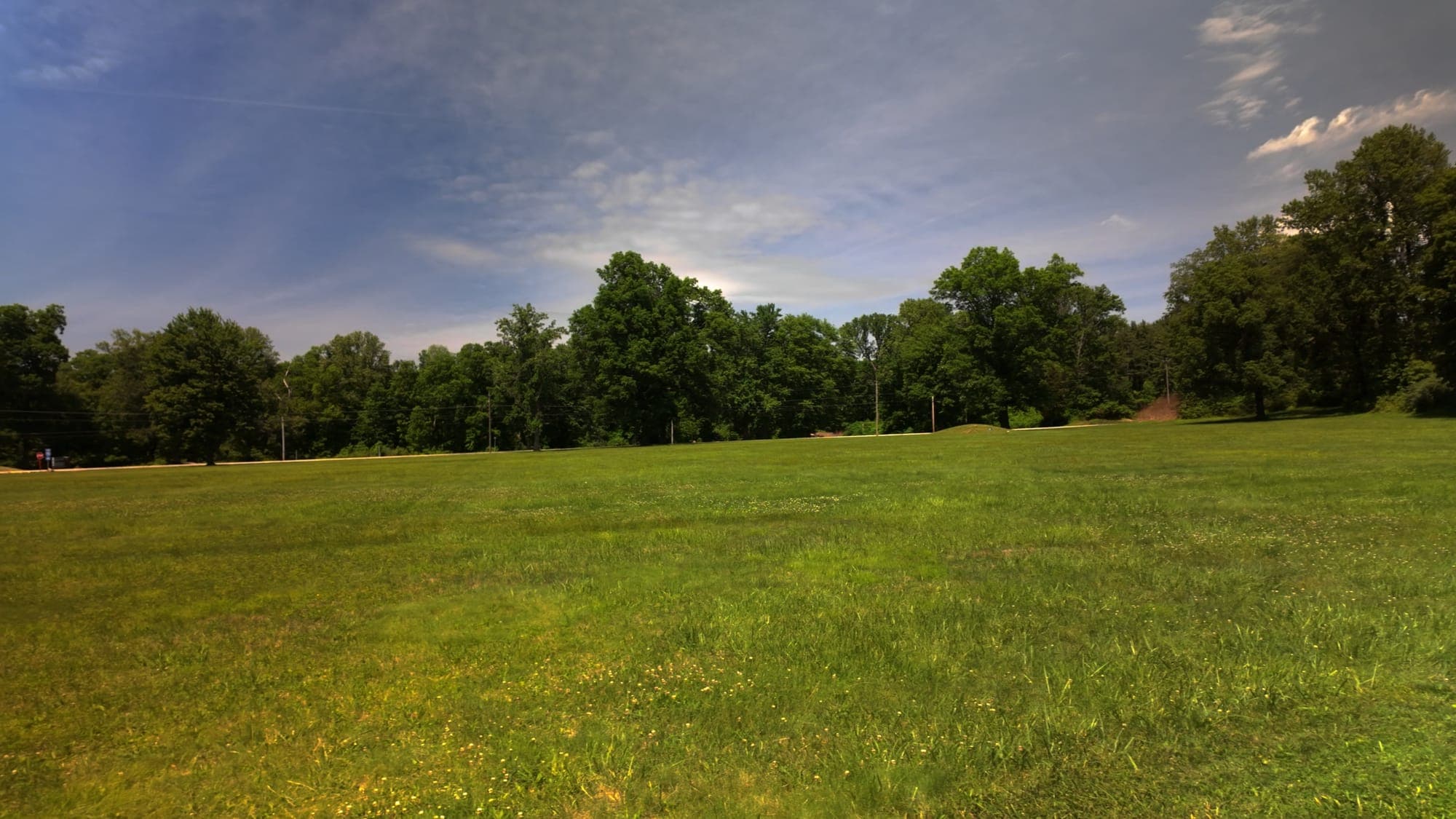
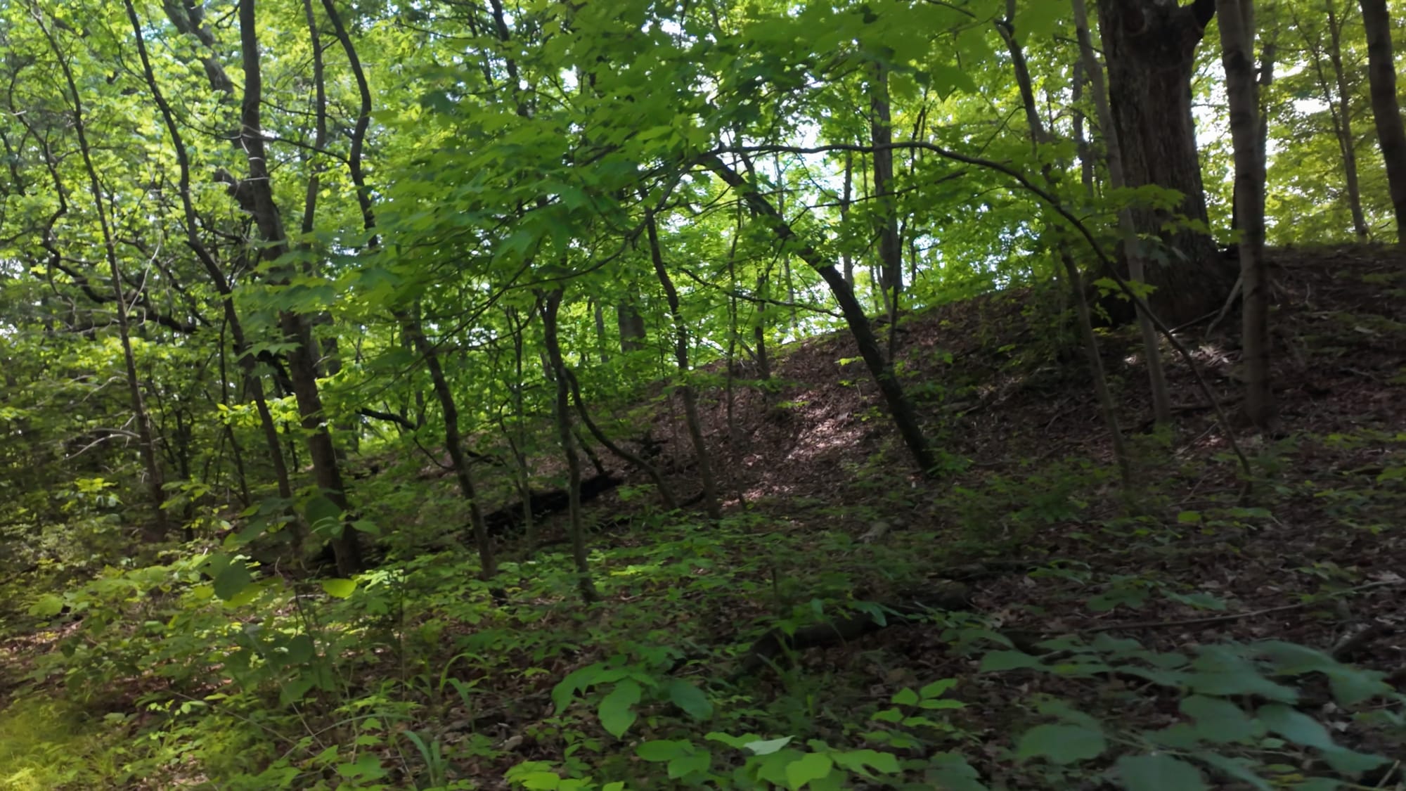
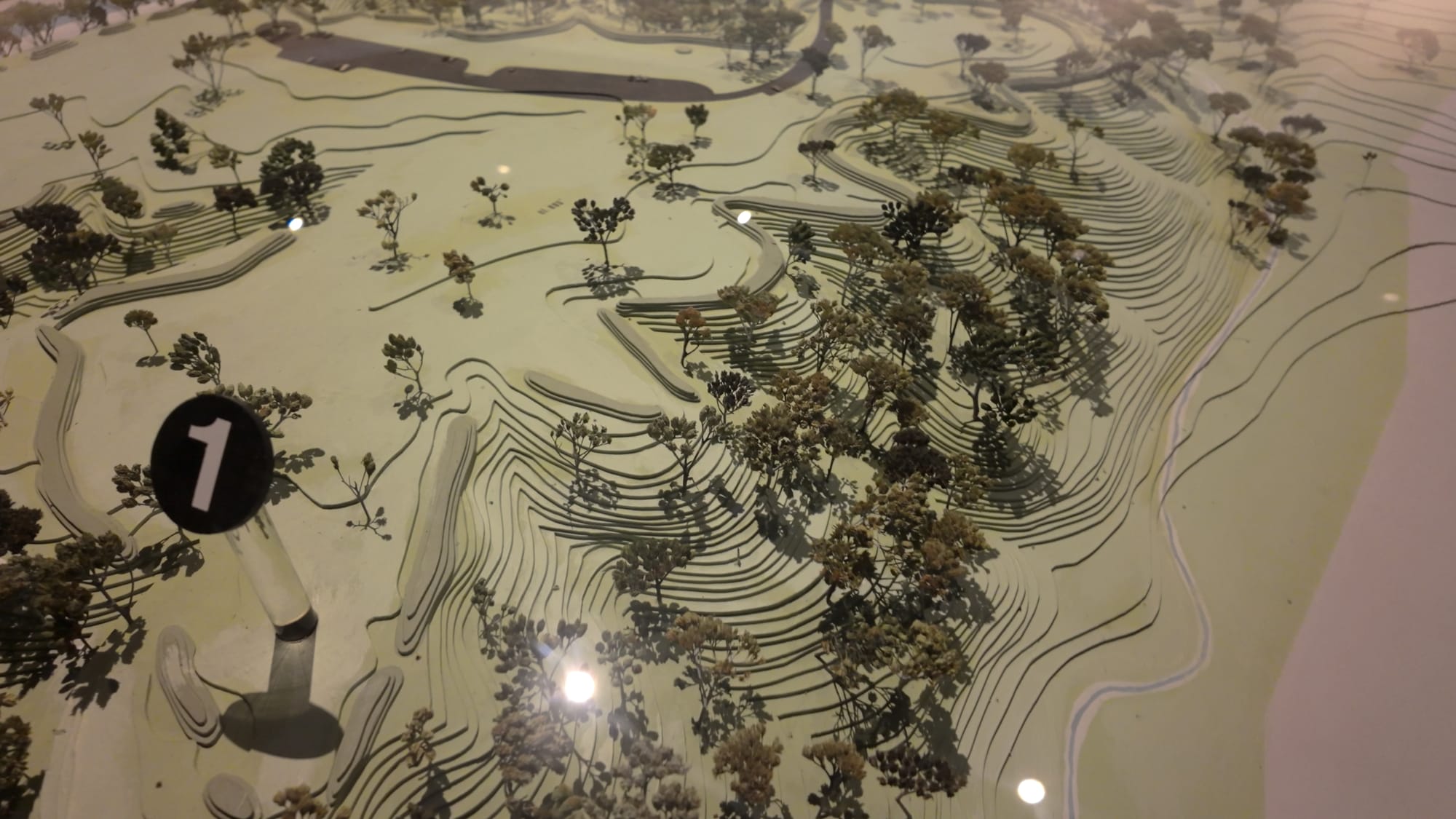
Fort Ancient Earthworks sits on a wooded bluff about 235 feet above the Little Miami River, near Oregonia in Warren County, Ohio — roughly 35 miles northeast of Cincinnati and about seven miles southeast of Lebanon. Three and a half miles of earthen wall — 18,000 feet of it — wraps the edge of the plateau, in places still standing 23 feet high after two thousand years of rain.It is the largest prehistoric hilltop enclosure in North America. Not the largest in Ohio. In North America. The site's staff like to point out that you could set the Great Pyramid of Giza down inside the walls and still have room to walk around it.The enclosed area runs to about 100 acres of earthwork inside a 764-acre state preserve. Archaeologists put the total volume of the walls at roughly 553,000 cubic yards of moved soil. Construction started around 100 BCE and continued, in at least three distinct stages, for something like four hundred years.Sit with that number for a second, because it's the whole story.
Half a Million Cubic Yards, By Hand
The builders had no metal tools. No wheels. No draft animals — no horses, no oxen, nothing that pulls. What they had was the ground, and their hands, and time.They broke the soil with the shoulder blades of deer and split elk antler. They scooped it with hoes made from freshwater clamshells and dug with fire-hardened sticks. Then they carried it uphill in baskets that held thirty-five to forty pounds of dirt at a load.You can do the arithmetic on 553,000 cubic yards at forty pounds a basket if you want to. I'll save you the trouble: it's millions of trips. Millions.And here's the part that actually gets me. Nobody who carried the first basket lived to see the last one. The South Fort went up first. The North Fort came generations later. People were born on this hill, spent their working lives adding to a wall, died, and handed the job to their children — who did the same thing, and handed it on again.Four centuries of that. Whatever this place meant to them, it was worth an entire lineage of labor.
So Why Is It Called a Fort?
Settlers coming through the Little Miami valley in the late 1700s found miles of earthen wall wrapped around a defensible hilltop and drew the obvious conclusion. It was a reasonable guess. It was also wrong, and the archaeology is unusually blunt about why.There are sixty-seven gateways. Sixty-seven gaps deliberately built into the walls — some sources count as many as eighty-four openings. A fortification with sixty-seven front doors is not a fortification. It's a building with a lot of entrances.The ditches are on the inside. At a real fort, you dig your moat outside the wall, so attackers have to cross it. Here the ditches run along the interior base of the embankments. Several were clay-lined and built to hold water, forming a chain of shallow ponds inside the enclosure. You don't put the moat inside the fortress.There's nothing to fight over. No evidence of siege, no defensive burning, no arrowhead scatter, none of the archaeological signature that violence leaves behind.Everything points the other way — toward ceremony, gathering, and sky. This was a place built on high ground because high ground is closer to the sky, and what happens in the sky is the point.For the record, the closest Fort Ancient ever came to being an actual fort was the First World War, when the army used the site as a training ground and troops practiced storming the embankments. In two thousand years, the only force that ever attacked this place was doing it for practice.
The Calendar Built Out of Dirt
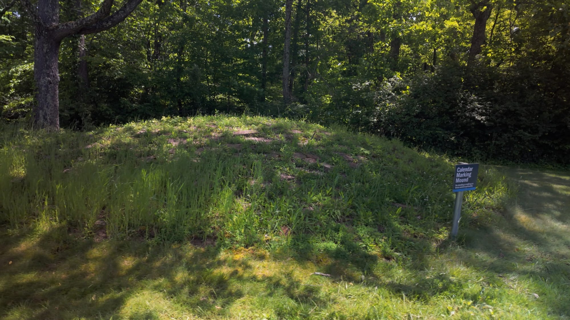
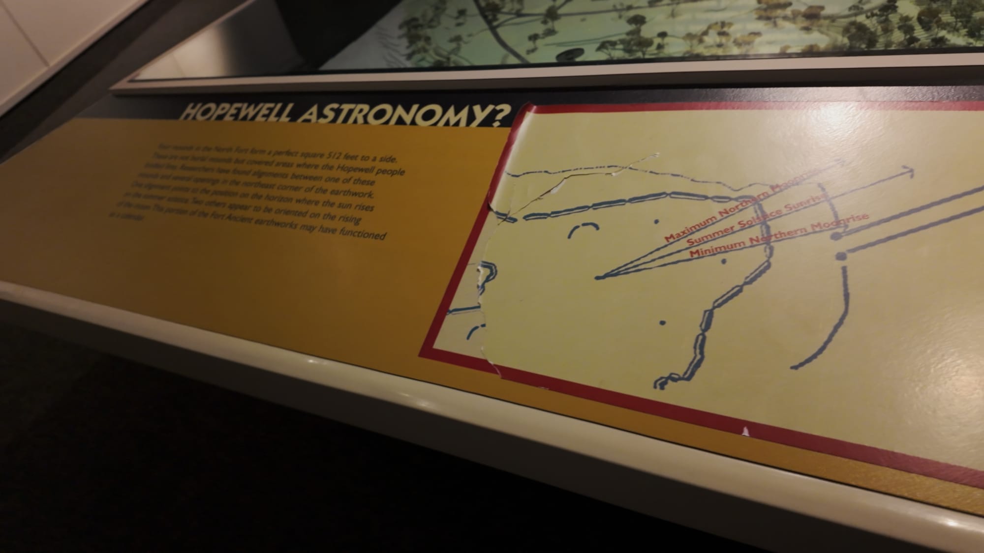
Here's what it actually was.In the northeast corner of the enclosure sit four mounds, capped in limestone, laid out in a rough square. They are not impressive to look at. They are about the least dramatic thing on the plateau — low grassy humps you could walk past without a second glance.Two of them align with the summer solstice sunrise, sighted through specific gaps in the wall. Two of them align with the winter solstice sunrise. There is also good evidence that the builders were tracking the 18.6-year lunar standstill cycle — the slow wobble that takes the moon nearly two decades to complete, which you cannot notice in a single year, or five, or ten. You can only find it by watching carefully and writing it down somehow, across generations.That's what the earthworks are. Not decoration, not a wall for the sake of a wall. An instrument. A machine for keeping time, built out of dirt and sightlines and gaps left in exactly the right places.And it still works. That's the thing people miss. People gather here every June and every December, and the sun still comes up precisely where the builders said it would — two thousand years, and a couple of thousand miles of continental drift in the sightlines' favor, later. The instrument has not needed a single adjustment.If you've been out here for one of those solstice mornings, especially the winter one, I want to hear what it was like.
The Woodhenge Nobody Knew About Until 2005
Then there's the part that wasn't discovered until this century.In 2005, Jarrod Burks of Ohio Valley Archaeological Consultants ran a magnetic survey over a flat, unremarkable field in the North Fort. Nothing was visible above the grass. Nothing had ever been visible above the grass.What the instruments found underneath was a ring of postholes nearly two hundred feet across — concentric circles of them, with something like two hundred posts in the outer ring alone. Each hole about ten inches wide and up to three feet deep, once holding stripped trunks of oak and hickory. At the center: a rectangular pit, roughly fifteen feet by thirteen and two and a half feet deep, packed with brilliant red burned soil that had been carried in from somewhere else entirely.A woodhenge. Right there, under a field people had been mowing.Robert Riordan of Wright State University excavated it over the following years and named it the Moorehead Circle, after the archaeologist who first dug here. Carbon dating puts the earliest version around 40 BCE, and it was taken down and rebuilt again and again for more than four centuries — the same span as the walls themselves. From the center of the circle, the summer solstice sun rises through a gateway in the earthwork. It's the same trick as Stonehenge, on a different continent, in wood instead of stone.And then it was gone. Dismantled deliberately, or left to rot, with no trace whatsoever on the surface. It sat invisible under that field for something like sixteen hundred years.Which raises the obvious question: what else is under there? This place is demonstrably not finished being discovered.
Copper, Mica, Obsidian: What People Carried Here
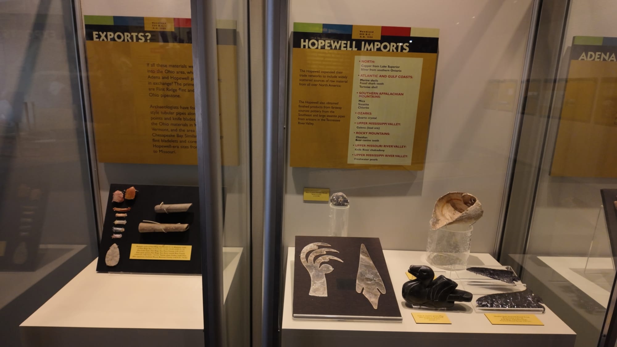
Some of the strongest evidence for what Fort Ancient was comes from the things people brought with them.Copper from the Great Lakes. Mica sheets from the Carolinas. Marine shell from the Gulf of Mexico. Obsidian from beyond the Rockies — Yellowstone, more than 1,500 miles away, on foot.For a long time the standard reading was trade: a continental exchange network with Ohio at the hub. The current thinking has shifted. These materials mostly don't turn up as raw goods getting worked and passed along — they turn up as offerings, deposited and left. Which suggests people traveled here from absurd distances and brought a piece of home with them to leave behind.Not a marketplace. A destination. A pilgrimage site, two thousand years before anyone in Ohio used that word.And the pull outlasted the builders by a long way. Warren Moorehead recorded a frontier-era account that the pioneer Simon Kenton used to encounter groups of Shawnee traveling to this hilltop to pay respect to the spirits of the people who made it. The Hopewell era ended around 400 CE. Fourteen centuries later, people were still making the trip.
The Other Half of the Name Problem
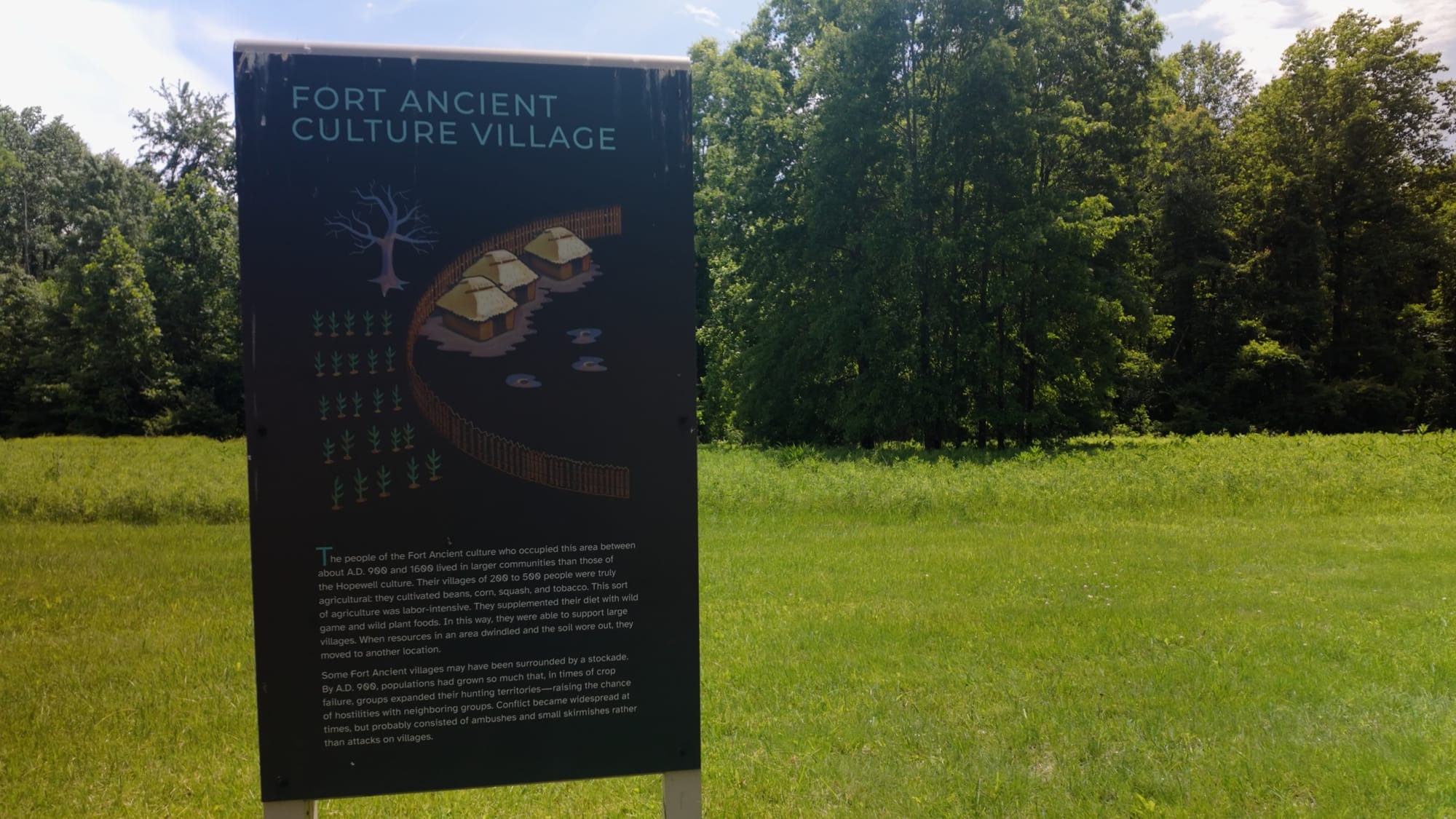
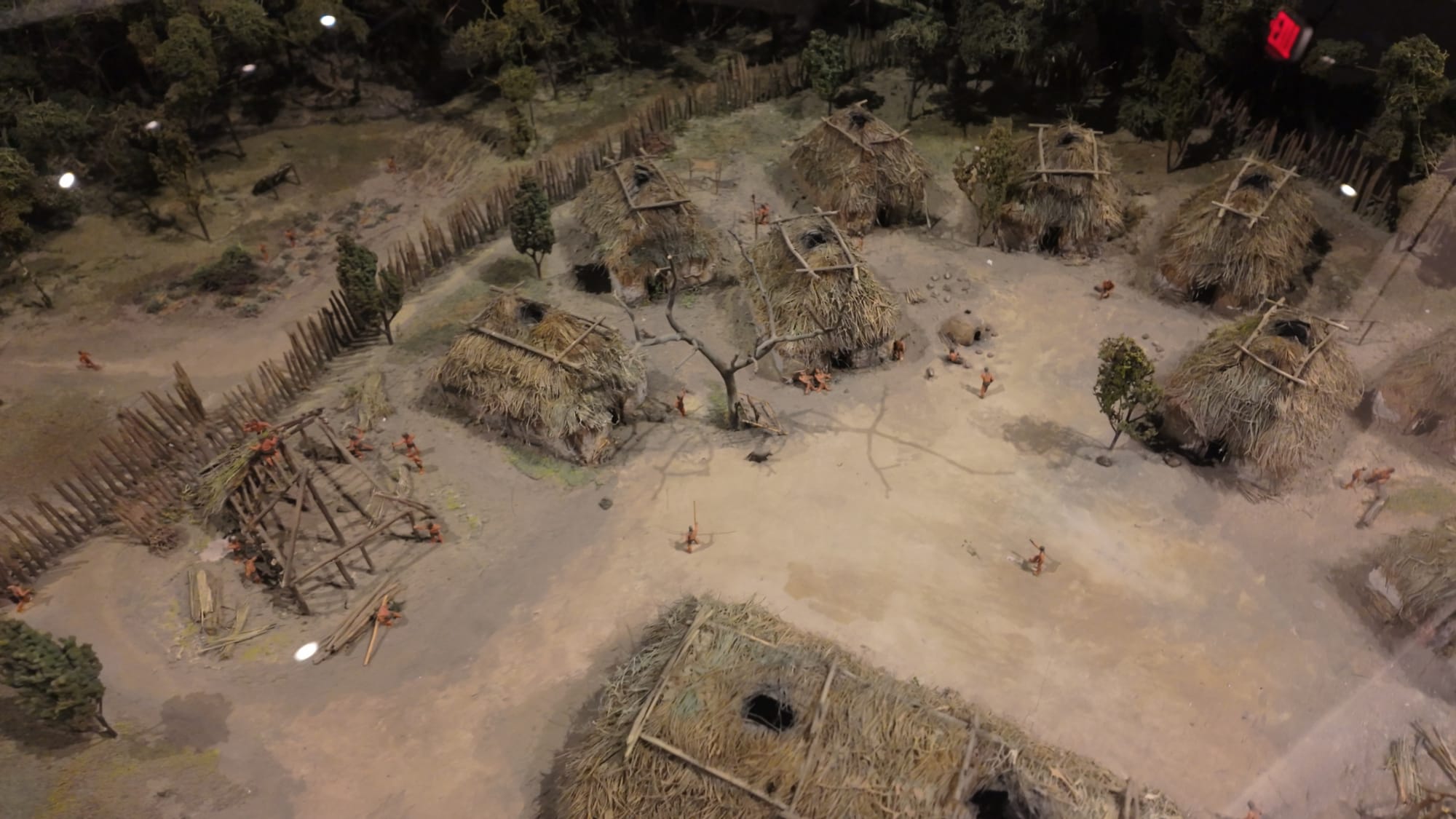
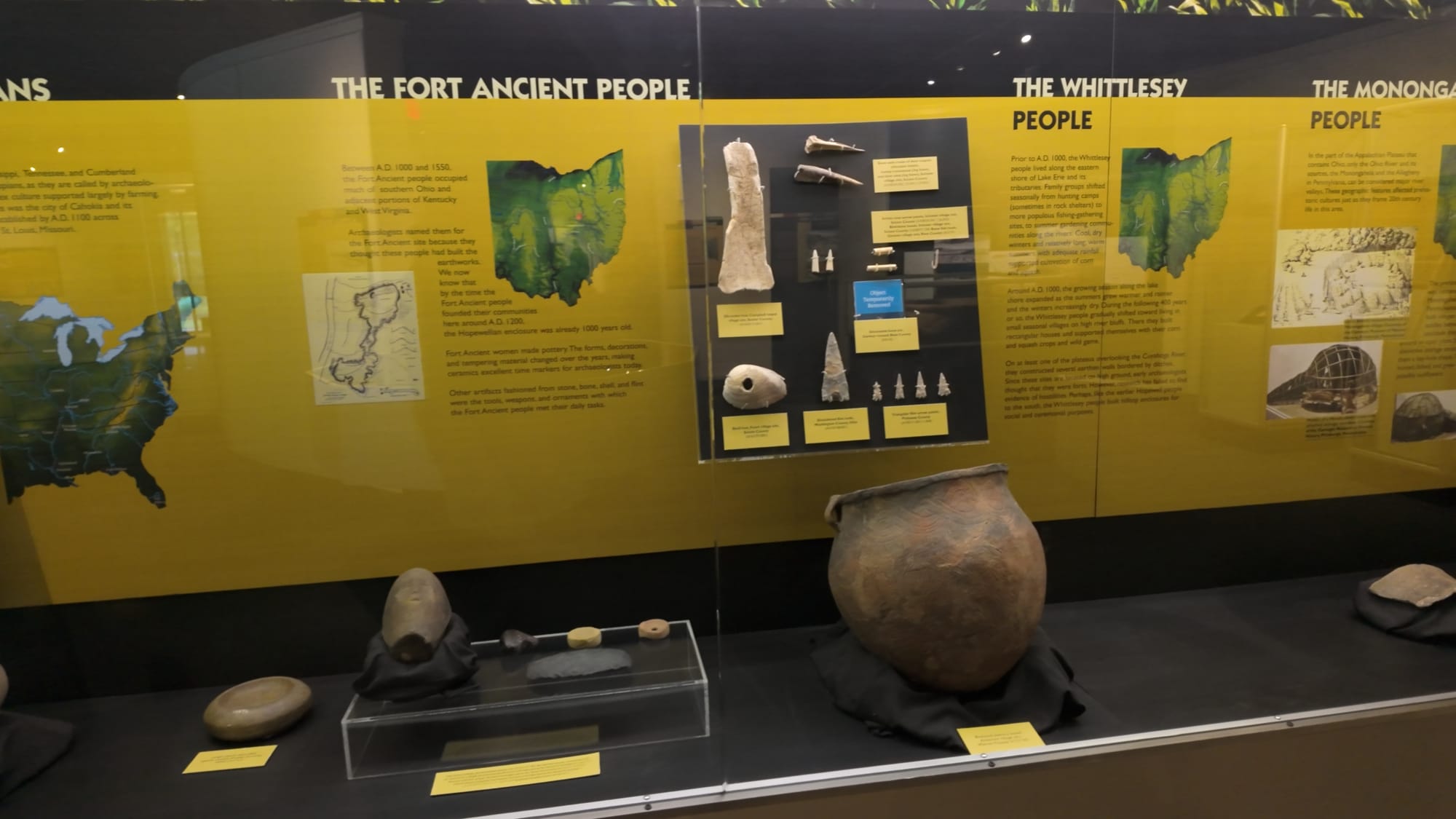
Around 1000 CE, a completely different people moved onto this plateau and built a village inside the old walls.They were maize farmers — corn agriculture arrives in the Ohio Valley right about then, and it changes everything, because corn means storable surplus and surplus means you can stay put. Their villages ran to a few hundred people and stood for decades at a time, usually in the rich bottomland along rivers.When nineteenth-century archaeologists needed a name for this culture, they did the natural thing and borrowed it from the biggest site they'd found it at. The Fort Ancient culture.Then the evidence came in. The village people hadn't built the earthworks at all — they'd simply settled inside them, a thousand years after the fact. Later mitochondrial DNA work suggests they weren't even direct descendants of the Hopewell builders; the current picture has them arriving from elsewhere, or emerging from local Late Woodland groups with substantial outside influence, and trading heavily with the Mississippian world to the south.So: a site named for a fort it never was, and an entire culture named for a site its people didn't build. Archaeology, being archaeology, kept both names anyway.
The Museum Is Worth Your Time
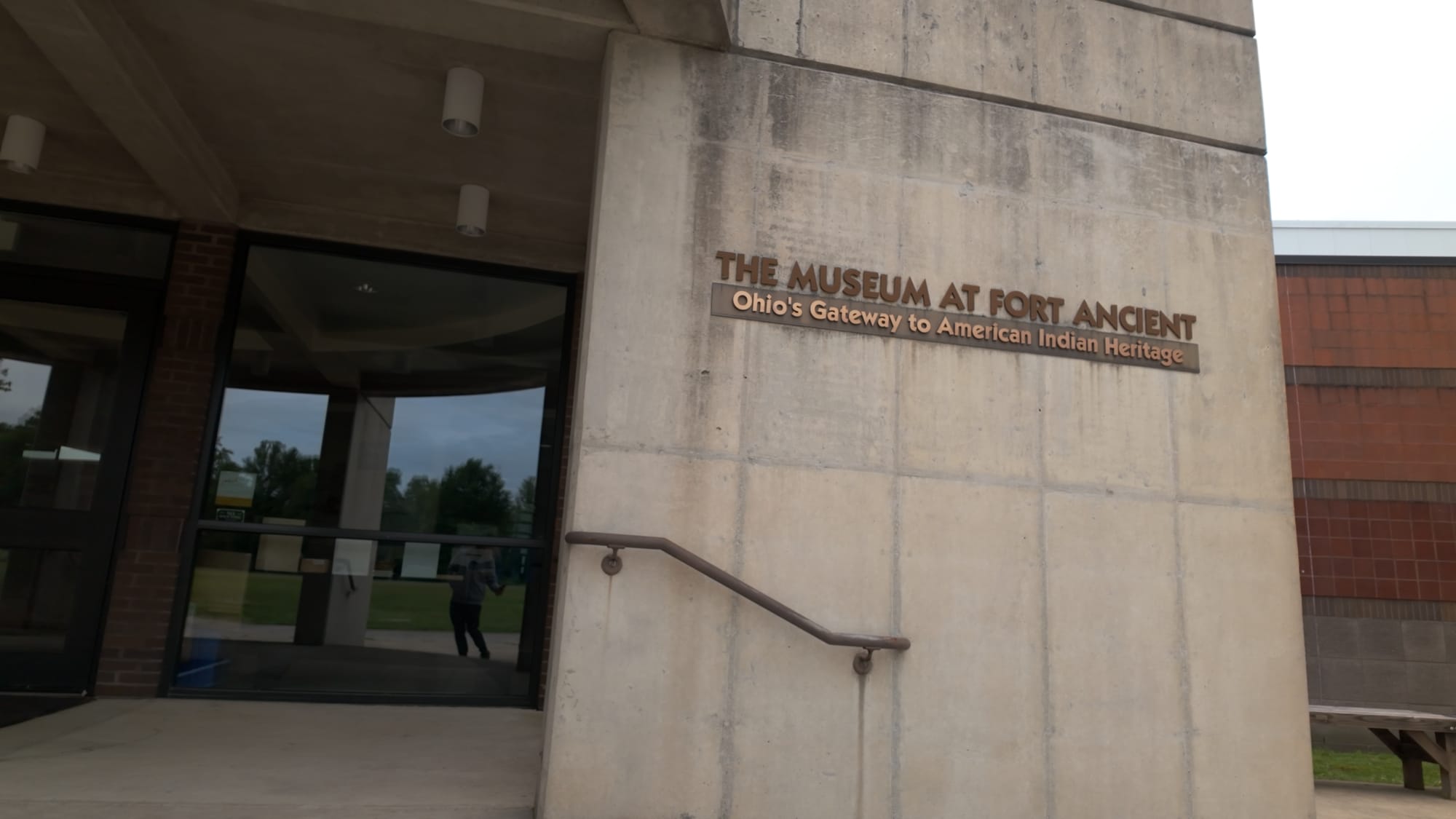
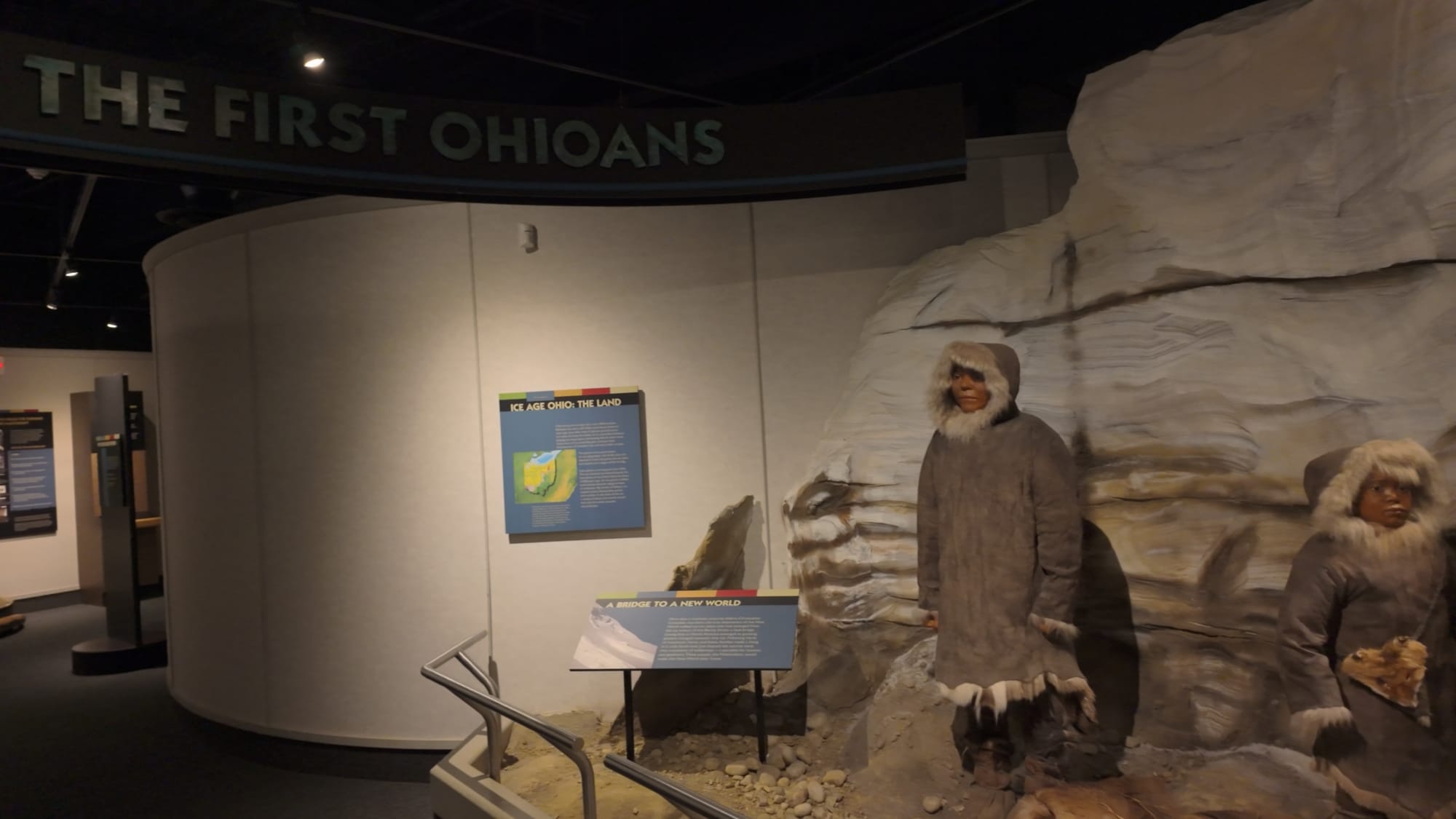
I'll be honest — I usually walk past site museums. This one I'd tell you to budget an hour for.It's 9,000 square feet covering roughly 15,000 years of human presence in the Ohio Valley, and it does the one thing that makes the earthworks outside legible: it puts the builders in sequence. Ice-age hunters, then Archaic foragers, then the Adena, then the Hopewell who raised these walls, then the Fort Ancient farmers who moved into them, then the historic tribes, then today. Standing on the plateau afterward is a genuinely different experience.
Tap any photo to enlarge
The scale model of the site is the exhibit I'd point at first. Three and a half miles of wall is genuinely difficult to perceive from ground level — you see one embankment at a time, disappearing into trees. The model shows you the whole shape at once, and the shape is the argument.
The Reason Any of This Survived
It very nearly didn't.By the 1800s the plateau was farmland, and the mounds were being opened by curiosity seekers and relic hunters — people digging for something to put on a shelf, with no record kept of what came out or where it had been. A great deal was destroyed in that era, before anyone had the framework to understand what they were looking at.Warren K. Moorehead ran the first systematic excavations here starting in 1887 and published his survey in 1890. By modern standards the work was rough; he moved fast and dug hard. But he did the thing that mattered more than his trowel work: he took what he'd found to the Ohio legislature and argued that this place was worth saving with public money.In 1891, the state bought it. Fort Ancient became Ohio's first state park — the first piece of land the state of Ohio ever decided to protect, and it was this one, chosen for what somebody built here two thousand years earlier.The research never really stopped, either. Patricia Essenpreis excavated through the 1980s and established that the walls went up in multiple stages. Robert Connolly worked out an "architectural grammar" for how the site was laid out. Riordan is still working the Moorehead Circle. Every generation of archaeologists here has found that the previous generation underestimated the place.In September 2023 the rest of the world caught up. Fort Ancient and seven other Hopewell sites — Mound City, Hopewell Mound Group, Hopeton, High Bank, Seip, the Newark Great Circle and the Newark Octagon — were inscribed together as the Hopewell Ceremonial Earthworks, Ohio's first UNESCO World Heritage Site. Same list as the Pyramids. Same list as Stonehenge.It took the world about 130 years to catch up to the 1891 Ohio legislature.
The Doorway You Drive Through
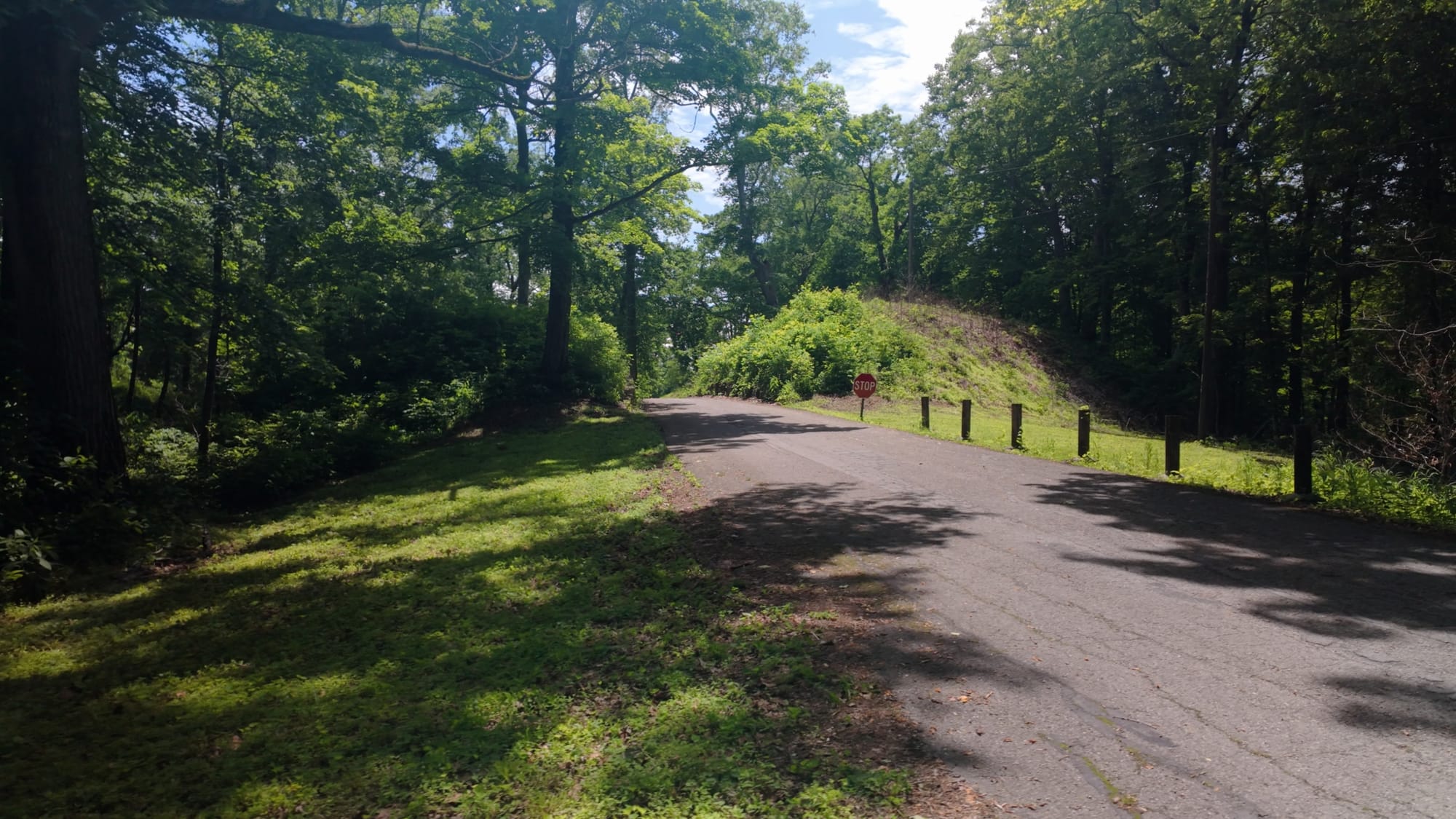
One more thing, and it's my favorite detail about this site.State Route 350 — the road you drive in on, the road with a speed limit and a center line — passes directly through one of the original gateways in the wall. It has for a century, because it was laid over an older road, which was laid over an older path.There's a very good chance you enter this place through a two-thousand-year-old doorway at 35 miles an hour without ever noticing it happened.
Visiting Fort Ancient Earthworks
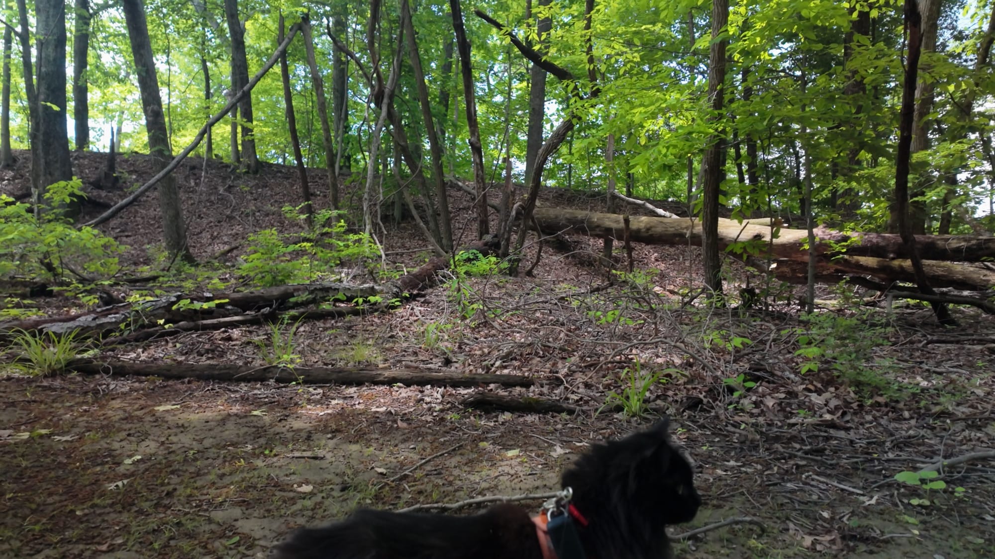
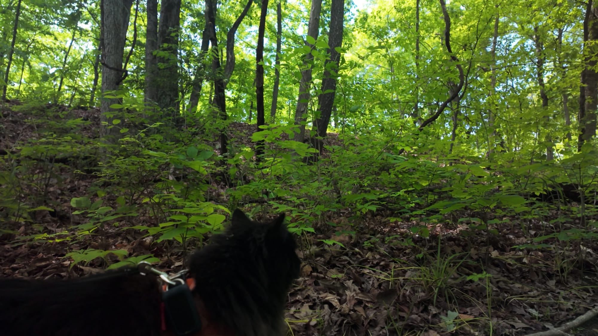
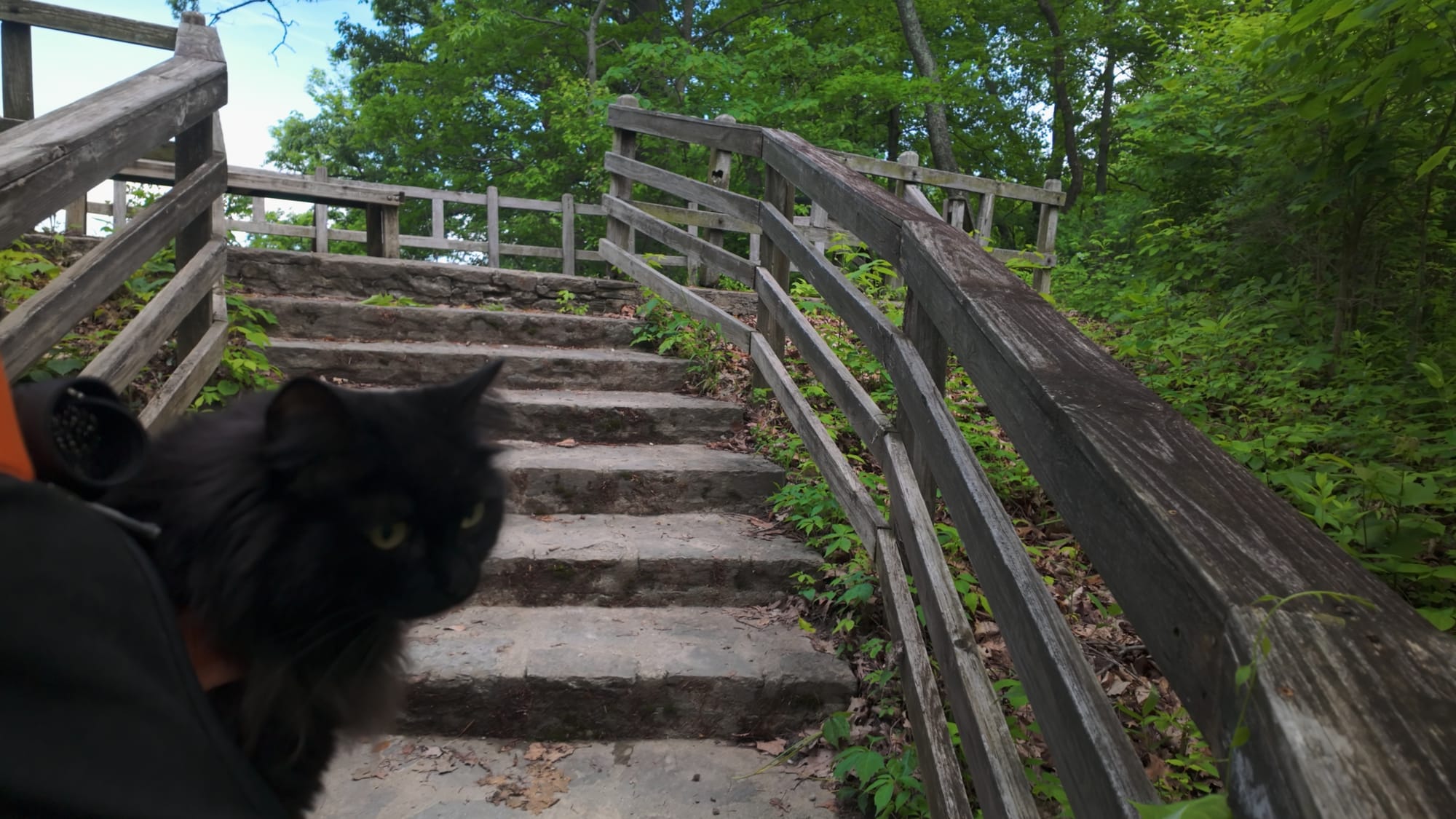
The site is at 6123 State Route 350, Oregonia, OH 45054, in Warren County — an easy run from Cincinnati (about 35 miles), Dayton, or Columbus, and right off I-71.The museum is open Wednesday through Saturday, 10am to 5pm, and Sunday noon to 5pm, with last admission at 4pm. Adult admission runs around $7, with discounts for seniors and kids and free entry for Ohio History Connection members; there's a grounds-only vehicle rate if you just want to walk. Check the Ohio History Connection site before you drive out — hours shift seasonally and it closes for major holidays.A few things worth knowing:Walk the walls, don't just look at them. There are around three miles of trail through the preserve, including sections that run right along the top of the embankments and overlooks down to the Little Miami. The earthworks make sense as a circuit and don't make much sense as a viewpoint.Go to the museum first. I know. Do it anyway. The scale model reorients everything you'll see outside.Dogs are welcome on the grounds — not inside the museum. Artemis came with me and did the full loop, which should tell you how manageable the trails are.Spring and fall read best. Summer foliage hides a lot of the wall line in the wooded sections, and the embankments are far easier to trace once the leaves are down.Time your visit to a solstice if you can. Sunrise gatherings happen in both June and December, and watching the thing actually work is a different order of experience from reading that it does.And stay off the mounds. They're two thousand years old and they're soil. Boots do real damage.
🥾
Gear for the Trail
The boots, layers, and daypack worth having before you hit the trail
Affiliate links • Helps fund my adventures at no extra cost to you
What Remains
The first four episodes of this series were each about one person and the one thing they had to build. A self-taught blacksmith carving a monument by lantern light. A bricklayer chiseling his grief into a sandstone ledge. A man with a bucket and fifty-two years.This one is the opposite in every way. Not a single builder's name survived. Not one. Hundreds of people, across four hundred years, moved half a million cubic yards of earth uphill in forty-pound baskets, and the work itself is the only signature any of them left.They built a machine for keeping time out of dirt, and then everybody who knew how it worked died, and then a thousand years passed, and then some settlers came through and called it a fort, and then a state bought it, and then the world named it alongside the Pyramids.And through every bit of that, the sun kept coming up exactly where they said it would.Ohio Hidden Corners is an ongoing series covering the overlooked, the odd, and the genuinely worth finding across Ohio. Episode 5 covers Fort Ancient Earthworks in full — watch it below.
Coming up next: Serpent Mound. A quarter mile of earth shaped into a snake, coiled along the rim of an ancient meteor impact crater. Nobody agrees on who built it — and one of the leading candidates is the Fort Ancient culture, the same people this place is wrongly named after.